
Delhi Turns Chilly, Snow Hits Uttarakhand And Himachal Before September Ends: Is Winter Arriving Early?
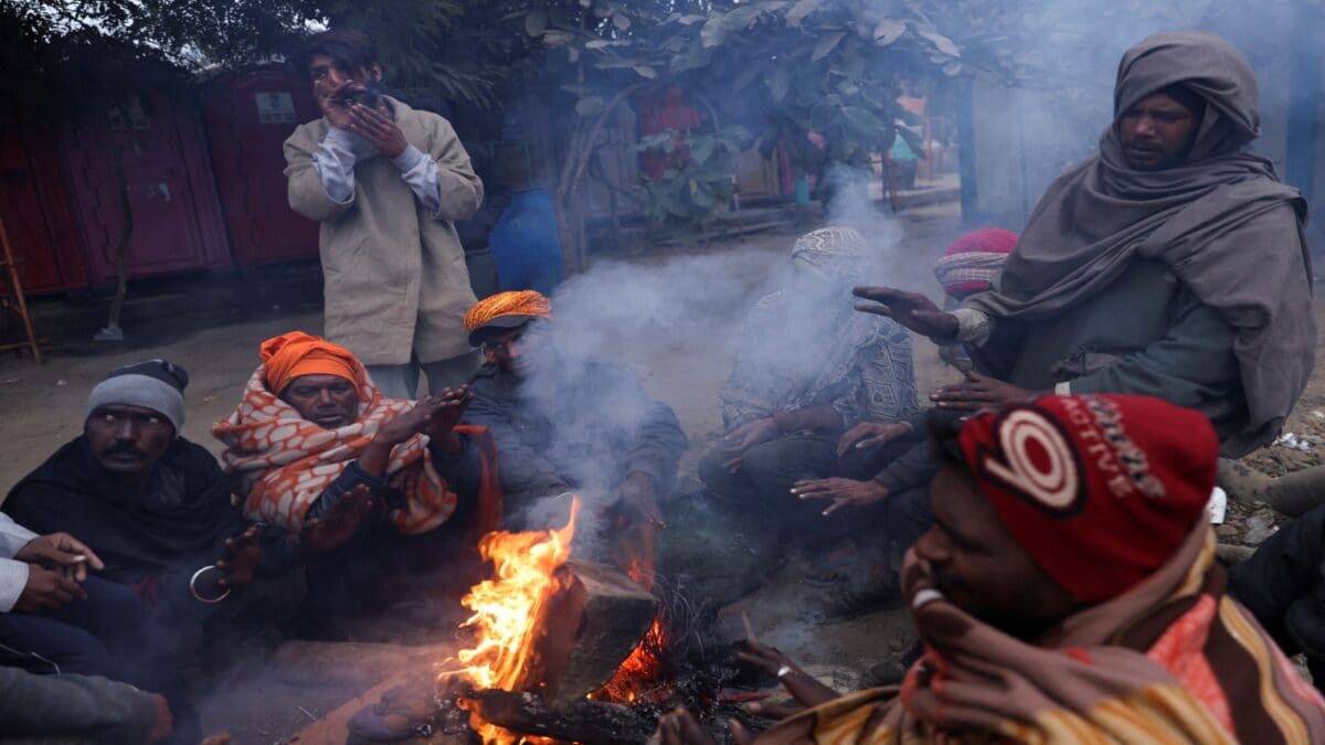
With air conditioners powered down and ceiling fans spinning at a leisurely pace, residents across North India have been caught off guard by a sudden, sharp dip in mercury. The recent plummet in temperatures, particularly in Delhi, has sparked a widespread public debate: has the winter season arrived significantly earlier than expected? As shivering citizens reach for their warm blankets, meteorological experts are stepping in to clarify the atmospheric conditions currently shaping the region’s climate.
The shift is undeniable. Delhi recently recorded a minimum temperature of 21°C, marking the second-lowest September reading in twenty-five years and the coldest such night since 2001. Meanwhile, the higher altitudes of Uttarakhand and Himachal Pradesh have been blanketed by unexpected snowfall. This chilly phenomenon, however, is not a signal that the traditional winter season has arrived. Instead, climatologists attribute the drop to a prolonged, deep depression originating from the Bay of Bengal, which blanketed large swathes of the country in unseasonal rain and heavy cloud cover.
The Truth Behind Early Winter Claims
Despite the pervasive chatter on social media, the unseasonable cold is not an early indicator of winter or a direct consequence of El Nino. The atmospheric instability was driven by a stubborn weather system that obstructed typical daytime heating patterns. As the monsoon season begins its complex withdrawal, westerly winds usually begin to dominate the northern plains, helping to clear the skies. However, this specific deep depression lingered, maintaining moisture levels and shielding the land from the sun’s warmth.
Beyond the plains, the mountains tell a more complex story. The Himalayan glaciers have historically received snowfall during both monsoon and winter cycles, making September snow a part of the region’s natural pattern. Yet, rising global surface temperatures are complicating this cycle. Experts note that the snowline is steadily creeping upward, meaning areas once prone to snow are now seeing rain, while the freezing point is forced into higher, more secluded elevations. According to detailed climate studies, these shifts are becoming more pronounced each decade, leading to longer summers and shifting precipitation windows.
What Comes Next?
So, should residents keep their heaters ready? Not necessarily. The current cool conditions are merely an after-effect of the recent weather system’s activity. Meteorologists predict that as the system dissipates, dry westerly winds will regain their influence over North India. Starting in early October, sunshine is expected to return to Punjab, Haryana, and Delhi, likely pushing daytime temperatures back toward seasonal averages.
However, the relief may be temporary for some. Another depression is forming near Myanmar, which could move toward the Bay of Bengal. While this new system is expected to have less intensity than the previous one, it may bring renewed cloud cover and localized rainfall to regions across eastern Uttar Pradesh and Jharkhand. For now, the narrative that winter has arrived in late September remains a myth, fueled by a momentary, albeit intense, atmospheric fluctuation.